Art. 5602207
| Product | Model | ZONE | Type Zone | SUPPORT | COMPATIBLE DEVICE | Price list €(vat incl.) | Unit | Avail. |
|---|---|---|---|---|---|---|---|---|
 5602207
|
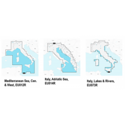
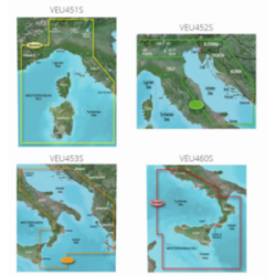
EU723L | MAR MEDITERRANEO | LARGE | MSD WITH SD ADAPTER | ONLY GAMIN MARINE | €479.39 | N | 1 |
Forniture nautiche italiane sells only to retailers and installers of the sector
How to became reseller?